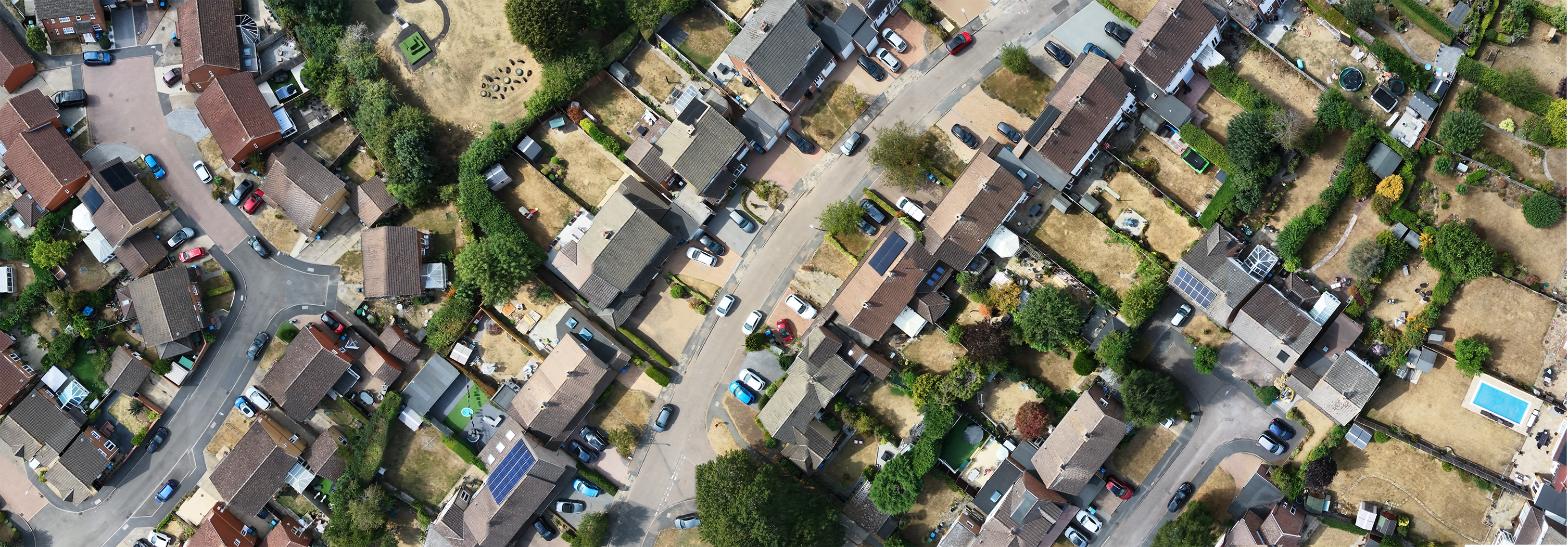
Mapping built environments and the transition zone
Urban expansion, brownfield regeneration, and fringe-zone development require detailed, up-to-date spatial intelligence. Traditional cloud processing tools can create bottlenecks when handling sensitive local authority or commercial data, while standard workflows struggle with the high-contrast boundary where urban infrastructure meets rural land.
PostFlightStudio parses standard DJI MP4 video and SRT telemetry locally on your machine, cutting out cloud upload queues and letting you generate precise orthomosaics and GIS packages on-site within minutes.
Common applications
Typical uses across local authorities, planning consultancies, and environmental teams include:
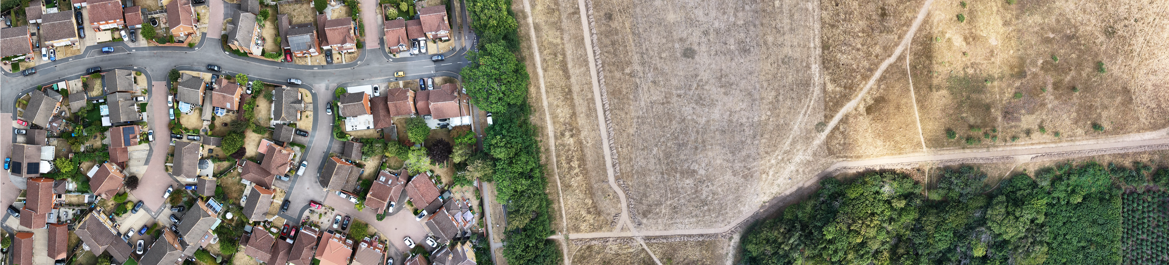
The local processing advantage
Urban and fringe surveys often involve sensitive local authority data, proprietary commercial developments, or private residential boundaries.
Because PostFlightStudio runs entirely offline on your local desktop machine, there are zero cloud uploads. Field teams can process high-resolution mapping right in remote site offices or local authority headquarters without requiring an active internet connection, ensuring sensitive project files remain strictly confidential under your direct control.
Frequently Asked Questions about urban and fringe drone surveys
Yes. The workflow is optimized for standard DJI hardware commonly used in tight spaces, allowing you to capture high-resolution imagery safely while maintaining complete local control over your data outputs.
The software exports standard high-resolution GeoTIFF orthomosaics, KMZ files, and packaged layers that drop straight into professional GIS software or municipal mapping systems.
Advanced local stitching handles the extreme contrast between reflective urban rooftops/roads and soft agricultural/natural ground cover without introducing seamline errors or distortion.
Secure Your Place on the Waiting List
Due to high demand and structured batch onboarding for environmental teams, consultancies, and research bodies, access is currently limited. Apply below to request your place.
⚡ Application Received!
You have been added to the PostFlightStudio waiting list. We will be in touch when your batch access opens.