Why use drones for river restoration and riparian surveys?
Covering long linear river reaches or wetland restoration sites usually means wrestling with clunky desktop packages. When you are monitoring active works, like checking for silt runoff or riverbank repairs, waiting a week for a stitched map is simply too slow.
Unlike traditional photogrammetry workflows that require hundreds of overlapping still photographs, PostFlightStudio extracts spatial information directly from standard DJI MP4 video and SRT telemetry. This makes it particularly well suited to long linear environmental surveys where rapid turnaround is more important than centimetre-level engineering accuracy.
We wanted something different. By parsing MP4 video and SRT telemetry directly on your local machine, PostFlightStudio cuts out the cloud upload bottleneck so you can go from backpack to baseline almost immediately.
Why environmental teams prefer local processing
When conducting river corridor or riparian surveys across sensitive catchments, data security and confidentiality are paramount. Watercourse assessments frequently involve proprietary landowner permissions, protected species records, and sensitive infrastructure or pollution telemetry that cannot ethically or legally be uploaded to third-party cloud servers.
Because PostFlightStudio runs entirely offline on your local desktop machine, there are zero cloud uploads. Field teams can process high-resolution drone river mapping right in remote site offices or mobile field units without requiring an active internet connection—ensuring sensitive catchments and telemetry remain strictly confidential under your direct control.
Common applications
Typical uses across environmental consultancies and river trusts include:
The riparian survey workflow
1. Fly your transect
Fly your linear river corridor or restoration reach using a standard DJI drone like a Mavic or Mini.
2. Drop files locally
Load your MP4 and SRT files straight into PostFlightStudio. Everything stays secure on your computer.
3. Export deliverables
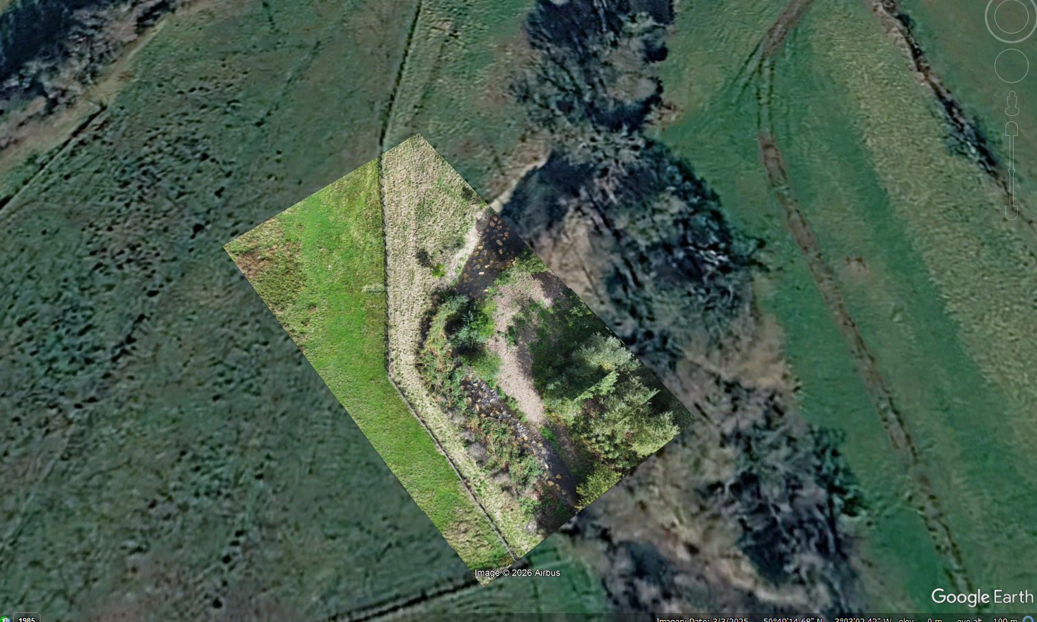
Generate orthomosaics, Google Earth KMZ pins, and reports in minutes rather than hours.
Frequently Asked Questions about river drone surveys
Yes. Unlike standard grid flights used for flat agricultural fields, PostFlightStudio handles linear video feeds along watercourses, matching frame sequences with SRT telemetry to build continuous river corridor maps.
By parsing telemetry data frame by frame, PostFlightStudio maps camera altitude changes along the channel, ensuring proper alignment even when surveying varied topography, meanders, and steep riverbanks.
No. PostFlightStudio runs completely offline on your desktop. Your sensitive river catchments and site survey data never leave your machine.
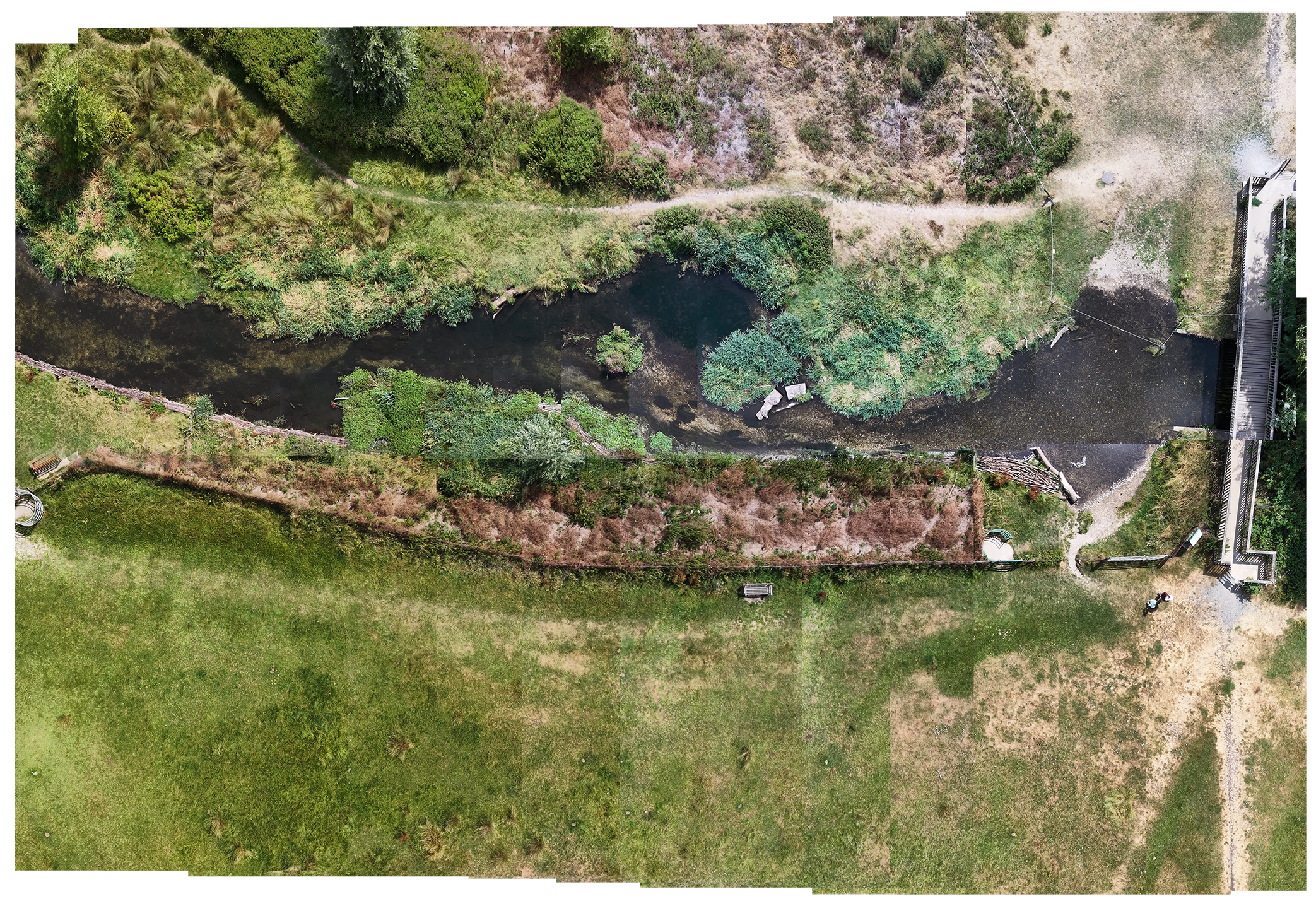
Many ecologists use affordable consumer aircraft like the DJI Mini series, Mavic Pro, or even the ultra-portable DJI Neo 2 for regular river visits. You can even take a cheap consumer drone like the DJI Neo 2 out of a backpack and use it to create quality deliverables (the chalk stream orthomosaic above was created with a Neo 2). PostFlightStudio extracts usable geospatial intelligence from these standard MP4 and SRT files without requiring high-end commercial surveying rigs.
Join the Closed Beta
Join the first cohort of environmental practitioners, river trusts, and consultancies helping shape PostFlightStudio for watercourse and riparian mapping.
⚡ Application Received!
We will be in touch shortly regarding your closed beta access.